
Can you feel geography? Can maps acquire tangible dimensions? What happens when a two dimensional map acquires contours? When you travel to a place which has long inhabited your imagination, this actually happens. Names become places full of people; points expand to towns and neighborhoods; lines acquire width and become roads and rivers; the neatness of an atlas turns into the messy complexity of the real world; the binary transitions of maps give way to long and real transition zones, where an entire world inhabits.
Mizoram fits this journey perfectly. It is one state which has captured my imagination ever since I laid my eyes on my first map of India. Those seven small, weirdly named states on India’s north-eastern peripheries were all a little odd to someone born in Madhya Pradesh, but of them, the strangest, the most exotic and hence the most mysteriously enticing to me was the state of Mizoram.
Like an icicle hanging down from the barely connected north-east of India, Mizoram seemed like the periphery of periphery. The southernmost of all north-eastern states, it juts out into Myanmar on one side and Bangladesh on the other. Only its northern boundary borders other Indian states, otherwise, it hangs there surrounded by alien lands. In an era when flights were unthinkable for most of us, the only way to visit Mizoram was to spend three days or so in train to reach Guwahati, and then to spend about two days on back breaking roads and completely unpredictable road transport to reach the capital of Mizoram, Aizawl, that curiously named city which sounded so nice when you said it and yet was so distant to visit. The remoteness of the place added to the thrill, and like every youth who imagines adventure while lying in his bed in his mundane little city, I used to dream about visiting Mizoram one day.
This exotic peripherality of Mizoram was something to be tested whenever the map would become a real place for me. After almost three decades of yearning to visit Mizoram, the dream came true in the last three years. And the geography did become real for me. The first time I flew into Aizawl, it was like entering a Narnia world in reality, akin to the Japanese anime world, but full of Narnia Christian symbolism, alien to whatever I was used to by then, but relieved by its people and their humanity.
However, the second time I drove to Aizawl from Assam, Silchar. And there is nothing more dramatically contrasting than the landscape, weather and culture that changes as you climb from Silchar to the hills of Mizoram. Silchar being a Bengali Hindu majority city in Assam is already an exotic outlier, but the moment you exit the city limits, you are surrounded by the most Bangladeshi part of India, the countryside of the three districts of Cachar, Hailakandi and Karimganj. They are practically taken over by Bangladeshi illegal invaders and some of the worst of civil society that you will see in India inhabit these districts, in such contrast with lush green supari plantations that are all around. Roads don’t exist. Networks disappear and you move at the speed of 8km per hour or so until you hit the border of Mizoram.
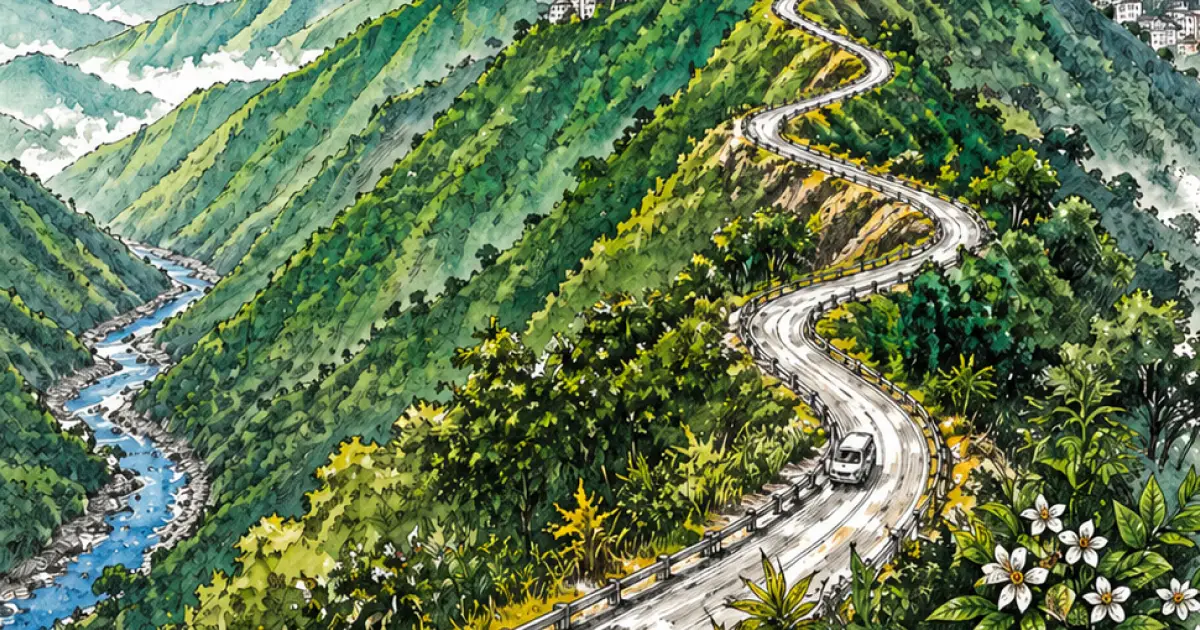
As soon as you enter the situation changes. Roads are quite functional and the hills start. As you start climbing the ridge, reach the first major town, Kolasib, and then proceed inwards into what is Mizoram, you observe a phenomenon. Amidst the breathtaking beauty that washes over you on all sides, amidst the green rolling hills, and the pure blue skies, you see a pattern. That it is a series of ridges, running parallel to each other, alternated by deep valleys, generally full with a river at the bottom. Like the surface of a crenellated tin, the crests and troughs alternate from west to east, or east to west, if you will, and this pattern of hills proceeds all throughout Mizoram, from extreme north to extreme south. At some places the ridges flail, move around and come closer to each other and on the other side, go farther from the other, but this pattern of crenellated tin roof pattern, or vertical ridges from north to south defines the geography of Mizoram.
And you can feel this geography of Mizoram, while you drive upon many of its ridges, and you do that most of the time, as most of the highways sit atop the hill tops, running over the very crest of the hill range. Mizos, like most north-eastern communities, live on hill tops and not in valleys, due to their head hunting past, and though the days of head hunting are far gone, the habit still persists, and all Mizo settlements are on hilltops, with very few exceptions. Mizos come down in valleys, which are hardly valleys and more like deep, dark crenellated troughs, only rarely, to trade, to war (in ancient days), to grow food on the sloping hillsides, but mostly to cross from one ridge to another. Because if you want to go from north to south in Mizoram, you can take a ridge and follow that ridge until the south, but if you want to go from east to west or west to east then you have to come down from the crest, go into the trough, then again climb back to another hill crest and then follow the hilltop highway on the other ridge. That’s how you travel in Mizoram: from ridge to ridge, over hilltop highways, crossing through riverine troughs and trade points, and all the while being lavished with breathtaking natural beauty, the beauty of a kind loved most by human beings: the green of the jungle and the blue of the skies.
While traveling on these hill crest highways, you stumble upon picturesque villages and towns, perched over one or the other side of the hill more, but usually at the very top, as Mizo tradition is. Most Mizo towns including the sprawling capital city of Aizawl are hilltop destinations which over the time grew bigger. Aizawl is big according to Mizo standards for sure, but it is bigger according to any standards of hill towns. It is one of the largest hill stations in India, only smaller than Shillong and if you count all the metro areas, its population touches the number of 4 lakh. Perched a little to the north of the center of Mizoram, Aizawl commands Mizo attention like no other city. Every Mizo has some relative or some connection in Aizawl. Every important thing happens there. It is the metropolitan of not just Mizoram, but all of Kuki-Chin-Zo people.
Aizawl commands attention not just culturally but also visually. Perched atop one of the highest hill ridges of Mizoram, and being at the center it is visible from far ends of the state, spanning almost all of the width of Mizoram. You can leave Aizawl and travel on the beautiful highways of Mizoram, but Aizawl does not leave you and it keeps peeking at you every now and then from at least two ridges across on both sides.
In this picture, I have left the city of Aizawl and the central ridge and going to the Saitual district, on the other ridge towards the east side, nearing Myanmar or Chin Hills. But the city and its concrete jungle peek through at me in this picture across two ridges. Rarely are there other cases where the geography of a state becomes so palpably real and visual. The way Aizawl dominates Mizo imagination in culture, it does so in natural landscapes too. Green hills, blue skies, then white diamonds in between…that’s the Mizo landscape for you today.